A globe-trotting collection of editable PowerPoint maps, featuring a PowerPoint world map, PowerPoint country map, and PowerPoint US state map, which you can use to take your audience on an incredible journey.
If you want to send your audience on a visual journey, there is no better tool than a map, but when you only have a .jpg or .png file to use, you lose some of that great storytelling capability, or the freedom to change the colours to keep everything on-brand.
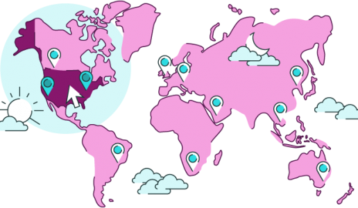
This is why we’ve got our own set of editable PowerPoint maps for you to download, including:
- PowerPoint world map
- PowerPoint country map
- PowerPoint US state map
Click here to download a set of editable PowerPoint maps
But if that’s only whetted your appetite for more, head over here to read about how you can make the most of your map slides and take them to the next level.
If you’re looking for other countries and you know what to do with an .eps file, you can browse this library of vector maps to find the country you need.
Join the BrightCarbon mailing list for monthly invites and resources
Tell me more!BrightCarbon are a great partner in our growth. They are great to work with, very consultative, and professional. I could not recommend working with them more highly.
Neil Davidson Deltek